
Walk a Surprise Street by Address
A Surprise address can lead to several distinct facts. The Maricopa County Assessor identifies the parcel and indexed owner. The Parcel Viewer places that parcel among the lots on the same block. A recorded deed names parties to a transfer, while a city permit names an applicant, contractor, or project contact. Those roles are not interchangeable. The street directory becomes reliable only when each name stays attached to the record that supplied it.
Begin with the newest stable identifier and move outward. Keep a short log of each query, including failed forms and alternate spellings. That practice matters in Surprise, where a postal city, municipal boundary, and county record jurisdiction can overlap without matching.
- Enter the number, direction, and street name in the Maricopa County Assessor search. Copy the APN, situs address, legal description, current owner, and deed reference.
- Open the APN in the Parcel Viewer. Click nearby polygons one at a time to browse the block without treating a broad result set as complete.
- Carry the deed number or owner name to the Recorder. Trace the transfer parties and keep the legal description as the link between records.
- Ask Surprise Development Services for permit and code files by both address and APN. Label every person by the role shown.
- For an older occupant, consult the verified regional criss-cross volumes. Use voter material only through its lawful access channel, not as an open street roster.
Search Surprise Parcel Fields
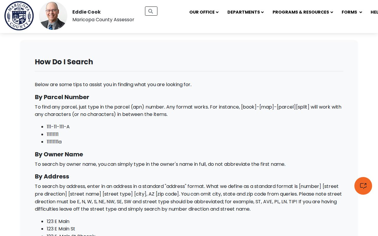
The Assessor's single box accepts far more than a full street label. An APN may include punctuation or omit it. Owner searches work best with the full first name, and address searches accept the standard directional forms and abbreviated street types. City and ZIP fields can gather parcels across a wider area, but those sets are not lists of occupants.
The official Assessor search help shows the supported formats:
| Search mode | Entry format | Best street use |
|---|---|---|
| Parcel number | With or without punctuation and split suffix | Reopen one exact lot |
| Owner name | Full owner name | Find other indexed parcels |
| Address | Number, direction, street, abbreviated type | Start the by-address search |
| Subdivision or MCR | Name or map-recording number | Group related lots |
| City or ZIP | Place name or five digits | Narrow a broad map search |
| STR | Section, township, and range | Find land outside a platted subdivision |
The official Assessor search help image below shows the surface used for a Surprise street directory query. Its fields offer several recovery paths when a street spelling alone fails.
Save the APN after the first match. It is often a more durable bridge than the postal label.
Map Surprise Streets Parcel by Parcel
The Maricopa County Assessor Parcel Viewer supports APN, owner, subdivision name, MCR, section-township-range, township-range, ZIP, and Map ID modes. Address locate zooms to a point, then the user clicks the parcel beneath it. A selected result populates feature information, and nearby lots can be checked in turn. A broad subdivision or ZIP selection stops at the first 1,000 selected features, so a careful street-by-street review uses the map at block scale.
The published layer can expose owner, physical address, mailing address, deed date and number, sale information, and coordinates. Its two address fields answer different questions. The physical or situs address locates the land; the mailing address is where the tax notice goes. A trust, company, or owner in another city may appear there without revealing who sleeps at the Surprise property.
Use the Results tab to reopen a selected feature and the Clear Results control before starting the next block. Search suggestions show only a limited set at once. If an APN has vanished after a split or combination, keep the old number in the notes and request a parcel-history report from the Assessor. A retired number is not proof that the lot or its record trail disappeared.
Note: A parcel owner is a title clue, not a complete household list.
Surprise Street Records in One Chain
Each address-keyed source covers a different part of a Surprise street. The Assessor and map lead because they return an APN. The Recorder follows ownership transfers. City files can date work at the site. Historical directories can sometimes identify an occupant, while election records have rules that bar casual public browsing by street.
| Address source | Surprise custodian | Street evidence | Access path |
|---|---|---|---|
| Assessment roll | Maricopa County Assessor | Owner, situs, mailing address, APN, and legal description | Free web search; parcel-history inquiry if split or combined |
| Parcel GIS | Maricopa County Assessor | Lot boundaries, adjacency, addresses, deed fields | Free viewer with 1,000-feature selection cap |
| Recorded instruments | Maricopa County Recorder | Grantor, grantee, deed, lien, plat, and legal description | Free index and unofficial images; counter or mail for copies |
| Permits and code files | City of Surprise | Project, applicant, contractor, dates, and status | Department request by address and APN |
| Regional reverse directories | Arizona Memory Project | Published occupant and phone by address for covered years | Free digitized volumes |
| Voter information | Maricopa County Recorder and Arizona | Lawful registration fields, with protected data withheld | Self-verification portal or statutory request |
A strong Surprise street directory keeps access channels in view. When the web form does not answer the question, the Assessor accepts parcel-history inquiries, the Recorder has a Phoenix counter and mail Copy Desk, and Surprise routes public files to the department that created them.
Terms Behind a Surprise Address
Four terms prevent the most common mistakes in a by-address search. They distinguish the land, its current delivery label, the recorded map, and an older directory arranged in reverse.
- Parcel
- A mapped unit of land identified by an assessor parcel number, or APN.
- Situs address
- The physical location assigned to the parcel, distinct from the owner's mailing destination.
- Plat
- A recorded map that lays out a subdivision, lots, blocks, tracts, and related land details.
- Criss-cross directory
- A directory ordered by street and address so a reader can move from a place to a published occupant.
Surprise parcels may also carry an MCR number for a recorded subdivision map. Older rural land may rely on section, township, and range or a metes-and-bounds description. Save every identifier that appears.
Follow Surprise Deeds Along the Street
The Maricopa County Recorded Document Search reaches a corpus dating to county organization in 1871. A modern street address may not appear in an old index, so the Assessor's deed number and legal description are the useful bridge. Search individuals by last and first name, and put trusts, companies, HOAs, or subdivisions in Business Name. Date ranges and document codes can cut down a common-name result.
Index fields may include the recording number and date, document type, grantors, grantees, legal description, page count, cross-reference, and image status. The colored Pages box opens an unofficial image when one is available. The Recorder lists an official copy at $1 per page, with $3 added per document for certification. Its counter is at 301 W. Jefferson Street, Suite 200, Phoenix, and mail orders go to the Copy Desk.
More than 52 million searchable documents were described in county reporting. That depth is valuable, but early name indexing and a current street label do not always meet. Book and page, party names, plats, and legal descriptions are the fallback.
Add Surprise Permit Address Files
Surprise Development Services is the right city channel for permit histories, certificates of occupancy, releasable plans, zoning cases, and code files. Ask separately for the permit card or index, applications, inspection log, certificate, and plans. Add a date span and request native electronic files when they exist. Code enforcement may use a separate system, so it deserves its own request.
The city's My Surprise Address tool accepts a street address and returns city service and district links. It tests service geography, not ownership or occupancy.
The result can help route a city request, while the county parcel card remains the source for indexed ownership.
The Surprise City Clerk Services hub identifies the local records gateway and City Historian role.
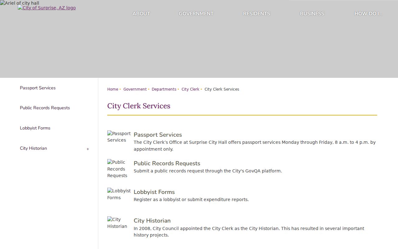
The clerk route is useful for city-created files, while county offices still hold deeds and assessment records.
Names in a permit should retain their labels. An applicant, contractor, designer, or owner contact may never have lived at the site.
Read Old Surprise Streets in Reverse
The Arizona Memory Project verifies two Cole's Greater Phoenix criss-cross volumes that include Surprise, from 1962 and 1963. They reverse the normal name search: start at the street and house number, then read the listed occupant or phone. Four Mullin-Kille Glendale ConSurvey volumes from 1957, 1959, 1961, and 1963 provide an alphabetic companion.
A visible 1963 entry uses both “15632” and a parenthetical “225” before N Factory. That dual numbering is a real address-continuity warning, but it does not prove a citywide renumbering date. Try both visible numbers, consult the volume legend, and match the land through a plat or legal description. The full collection belongs on the Surprise Directory Book page; here, its value is the switch from a street to a published household clue.
Note: A missing directory entry can reflect scope, omission, a move, or a changed label, not a proven absence.
Separate Surprise Street Geographies
Maricopa County holds the parcel and deed records, Surprise controls municipal services within its limits, and USPS assigns delivery labels. Those layers can disagree. A Surprise parcel may even show Surprise jurisdiction, a Wittmann postal label, and an owner mailing address in a third city. Preserve all three rather than forcing them into one place field.
The regional grid uses directional prefixes and numbered streets, while master-planned areas add subdivision patterns. The Grand, Marley Park, Rancho Gabriela, Surprise Farms, Sierra Montana, Sterling Grove, Asante, and Greer Ranch can be useful subdivision or MCR terms. They are not substitutes for a legal boundary. Border searches may also need Sun City or Sun City West labels.
Inside Surprise, Community Development or GIS handles municipal address questions. County addressing controls in unincorporated pockets. The office responsible for an address can therefore help test jurisdiction.
Limits of a Surprise Street Directory
A Surprise street directory cannot supply a full household roll. Parcel files name owners, not all occupants. Deeds show parties to an instrument, not everyone present at the property. Permit and code files identify specific roles. Utility customer data and driver records are not substitutes, and the Arizona voter portal verifies details supplied by an individual rather than allowing a casual street browse.
Protected records can also produce a gap. Arizona law allows qualifying voter information to be sealed, and property-related identifiers may be restricted by court order for eligible people. Treat a blank or failed result as “not located.” It does not establish that a person has no record or no link to Surprise.
Lawful use. Use Surprise address records only for lawful personal research, such as family or property history. Arizona law prohibits harassment and stalking, and protected addresses must remain protected.
Confirm a crucial fact with the office that keeps it. Ownership, occupancy, service geography, and postal delivery remain separate claims even when the same street line appears on each record.